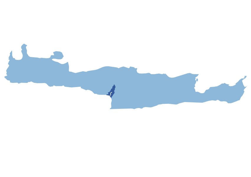
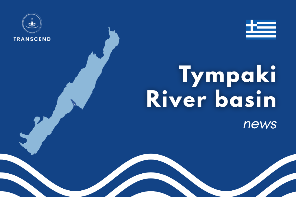
The Tympaki basin is located in Crete, Greece. Its geography is characterized by a transition from rugged, mountainous terrain in the north, to the low-lying Messara plain in the south, a major agricultural production area. The basin’s primary water sources are the Geropotamos river and its tributary, the Koutsoulidis stream, alongside extensive groundwater resources. The Faneromeni reservoir is the basin’s only major surface water body.
Climatically, the basin experiences a “hot summer Mediterranean” climate, with hot, dry summers and relatively wet, cool winters, while the mountainous regions exhibit cooler temperatures and higher precipitation, including occasional winter snow.
Theland use is dominated by agriculture, which occupies approximately 90% of the basin, with 40% dedicated to crops and 50% to pasture. About half of the cropland is irrigated, and the most numerous crop types are olive groves, greenhouses with fruits and vegetables, and fruit trees. Since 2000, the basin’s agricultural landscape has remained relatively stable, with the construction of the Faneromeni reservoir in 2005 being the only significant change. The primary water use is constitued by irrigation, accounting for 95% of consumption, with urban use representing the remaining 4.5%. Groundwater supplies 85% of the basin’s water needs, including all urban water, while the Faneromeni reservoir provides the remaining 15%. Unmet water demand is a recurring challenge in the basin, as irrigation requirements often surpass available water resources.
Scroll through the slides to read about the Tympaki local workshops and serious game.
Workshop 1 – Vulnerability Assessment and Gap Identification
Heraklion, Crete (Greece), September 23th, 2023
The first local workshop focused on identifying systemic vulnerabilities and technical gaps within the Tympaki River Basin. Stakeholders identified three main critical issues: 1. Miscommunication among decision-makers and ineffective implementation of decisions. 2. Gap between scientific community and mangers-users with consequent lack of expertise in the latter. 3. Criticalities in the application of water management plans.
On the technical side, stakeholders highlighted the following priorities: Modelling: stakeholders were not applying a specific model but highlighted the need for a local-scale water demand-supply model and a groundwater model. Monitoring: good monitoring conditions of the Phaneromeni Dam, groundwater level of the aquifer, water consumption and water quality.
Workshop 2 – Scenario Exploration and TAPs Identification
Heraklion, Crete (Greece), February 4th, 2025
The second workshop focused on the presentation of the WEAP hydrological model and the economic model, under development after the first workshop. The stakeholders were satisfied with the preliminary results. The second part of the day was dedicated to the exploration of system vulnerability through a serious game. Participants agreed on the following main vulnerabilities:
1. losses from irrigation and water supply networks 2. difficulty of recording total water abstraction, resulting in increased vulnerability in calculating the water balance.
Several potential TAPs were proposed by the stakeholders, including: transition to less water demaning crops, reduction of water losses in the pipelyne system, adjustment of the water pricing policy, and many others, visible in this policy brief.
The third workshop aimed at exploring taps through a serious game that included four scenarios: hydrological, economic, infrastructure and monitoring. After the game, stakeholders discussed the following addtional policies:
1. Pricing and regulatory measures 2. Infrastructure and increase in water availability 3. Agriculture – cultivation and irrigation practices 4. Education, awareness, and user participation
In the end, it was decided that the TAP simulated in the final workshop will be crop insurance against prolonged drought.
The fourth and last local workshop is foreseen for Autumn 2026. The goal of the event will be: presenting the detailed results of the modeling suite co-developed within the project; validating the TAPs co-identified with the stakeholders through a serious game; and planning for the co-implementation of the selected TAPs.
Tympaki serious game
TRANSCEND serious games are model based, meaning that they rely on quantitative hydrological, climate, and economic models rather than hypothetical narratives. In the Tympaki serious game, players explore combinations of hydrological, infrastructure, and economic scenarios affecting a coastal aquifer serving agriculture and urban demand. Strategies focus on crop choices and water allocation, with indicators such as unmet demand and agricultural profit revealing system balance. Visit the game interactive platform.