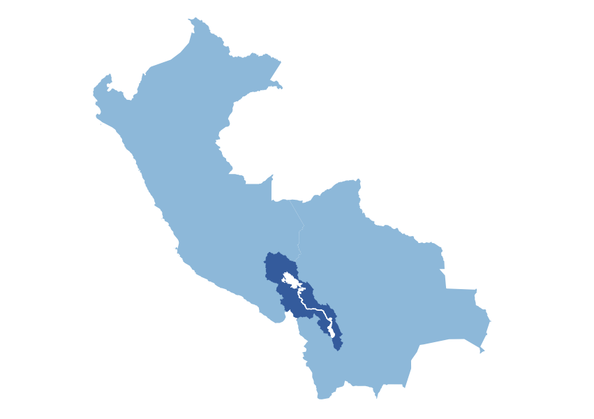
The Caplina-Mauri-Desaguadero basin is a complex transboundary system shared by Bolivia, Chile, and Peru. Despite the absence of direct river connections, the Caplina basin is connected to the rest of the system through the Kovire tunnel. For political reasons, the case study within TRANSCEND is limited to the area of the Titicaca-Desaguadero-Poopó system (TDPS).
The basin’s geography is mostly characterized by a high-altitude plateau, exceeding 3000 meters above sea level, located in the south and east. This plateau is encircled by mountains, some reaching over 6000 meters. Within this plateau lie two significant lakes, Lake Titicaca and Lake Poopó. To the west, the terrain descends towards the Pacific Ocean, marking the basin’s outlet.
The basin features diverse climates: cold semi-arid in the south, alpine tundra in the north, both with low rainfall, temperate near Lake Titicaca and in higher mountain regions, with higher rainfall, and desert along the Pacific coast, transitioning with elevation. Mountain glaciers and snow play a vital role in the basin’s hydrology.
Agriculture is the dominant water user, relying on both surface and groundwater resources. Approximately 10% of the basin’s land is dedicated to irrigated croplands: quinoa, potatoes, barley, maize, and alfalfa. Pastureland accounts for 40%, supporting camelid grazing. Forest and shrubland, concentrated in the wetter northeastern mountains, occupy 25%. The significant presence of lakes results in nearly 10% of the basin’s area being covered by water. Between 1992 and 2015, notable land use changes occurred, including a 36% growth in urban areas, a 10% increase in agricultural land, and a 5% expansion of wetlands, alongside reductions in bare land (17%) and shrubland (11%).
Scroll through the slides to read about the TDPS local workshops and serious game.
Workshop 1 – Vulnerability Assessment and Gap Identification
La Paz (Bolivia), October 25th, 2023 The first local workshop focused on identifying systemic vulnerabilities and technical gaps initially within the Caplina-Mauri-Desaguadero system, then replaced with the Titicaca-Desaguadero-Poopó system for political reasons. Stakeholders identified three main critical issues:
1. Poor water quality due to mining and domestic water discharge in the subbasins around the Titicaca lake 2. Water stress due to less water storage and droughts 3. Lack of adequate knowledge for decision making, eg on economic issues
On the technical side, stakeholders highlighted the following priorities Modelling: in general lack of comprehensive models, particularly hydro-economic and water quality models; Monitoring: need for information on agricultural, mining, and domestic use, water quality and economic data
Workshop 2 – Scenario Exploration and TAPs Identification
The second workshop focused on the presentation of the modeling suite under development after the first workshop. The second part of the day was dedicated to the exploration of vulnerabilities through a serious game. Participants agreed on the following main vulnerabilities:
1. Decrease in precipitation as a cause of losses and reduced agricultural production 2. Changes in seasonal rainfall patterns hinder the continuation of agricultural practices 3. Processes of desertification and soil salinization lead to changes in agricultural practices and crop types
Stakeholders proposed some TAPs that, after a revision during the 1st international workshop in Venice, include: 1. Inventory of: sources of water salinization in the middle and lower part of the Desaguadero River, and water sources in agricultural microsystems, rrigation systems in the area east of Caracollo south of the study area. 2. Updating irrigation systems in the El Choro area in the south of the study area. 3. Development of agricultural insurance against droughts based on production data processed by INSA. 4. Studies on: changes in rainy periods for adaptation actions in dryland crops, impact of water storage in Desaguadero river and Poopo lake. 5. Construction of: storage dams in the Batallas and Pucarani area in the Katari basin, supply wells on the shores of Lake Titicaca for irrigation in the dry season. Download the policy brief on TDPS barriers and adaptation policies.
Workshop 3 – TAPs and scenarios revision
La Paz (Bolivia), March 10th, 2026 The third workshop aimed at exploring the TAPs previously identified through a serious game, in which hydrological modeling coupled with economic modeling was used to evaluate the impact of the TAPs identified in previous workshops.
The fourth and last local workshop is foreseen for Autumn 2026. The goal of the event will be: presenting the detailed results of the modeling suite co-developed within the project; validating the TAPs co-identified with the stakeholders through a serious game; and planning for the co-implementation of the selected TAPs.
TDPS Serious game
TRANSCEND serious games are model based, meaning that they rely on quantitative hydrological, climate, and economic models rather than hypothetical narratives. In the TDPS serious game players take roles linked to upper, middle, and lower basins and select strategies affecting land use and drought management. The game uses hydrological and economic models to simulate impacts on lake levels, river flows, and agricultural profits. The objective is to identify coordinated strategies that improve system-wide resilience rather than individual gains. Access the TDPS Serious Game interactive platform.